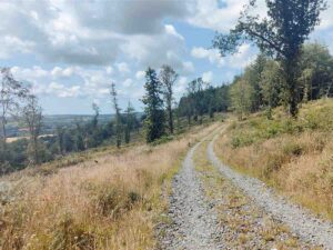
The recently launched app has been warmly welcomed by Wexford Walking Trail members. It is seen as a huge asset to walkers as it gives information such as trail start location, type of walk, length, grade, parking and downloadable maps. Visitors new to an area, can log on to the app and find out what trails are in the area – the app is designed to enhance the walker’s experience by helping them choose their trail based on information available on the app. For those planning their outing in advance, they can log on and download a printable map – this resolves those random online glitches when out on a trail.
Check out how to download and use the app online at: https://www.wexfordcoco.ie/maps/maps-on-your-mobile You can zoom out or in to find a trail or use the search function to find a particular trail.
Congratulations to Frank and Catherine in the GIS section of Wexford County Council for creating this great asset. The app is a work in progress as they work towards enhancing its functionality. You can play a part in ensuring its success by encouraging others to use it. If you observe any issues on our network of trails, such as trees down, damage to trail surface etc, please contact us on: [email protected]
Other apps recently launched by the GIS section include: Wexford Harbour navigation, Accessible parking, Eurovello 1 proposed cycle route across Wexford and Planning Applications and Schools.
7/4/16