BALLYFAD WOOD
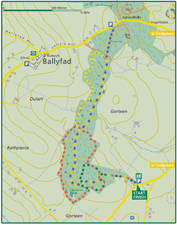
BEECH TRAIL
Distance: 1.5km (0.9 miles)
Ascent: 35m
Walking time: 45min
Waymarking: Green
Grade: Easy
BLUEBELL TRAIL
Distance: 3km (1.9 miles)
Ascent: 73m
Walking time: 1hr 20min
Waymarking: Red
Grade: Moderate
OLD MASS PATH TRAIL
Distance: 4.3km (2.7 miles)
Ascent: 74m
Walking time: 1hr 35min
Waymarking: Yellow
Grade: Easy
BALLYFAD TRAIL
Distance: 2.5km (1.6 miles)
Ascent: 50m
Walking time: 30min
Waymarking: Blue
Grade: Easy
OSI Discovery Map Series: 62
GRID REFERENCE:
SAT NAV: 52°45’19.5″N 6°15’16.7″W
The Ballyfad Walk is set in over 200 acres of mature woodland near Coolgreany, Co. Wexford which is an example of an old woodland site that is shown in the original 1835 Ordnance Survey map. Such old woodland sites are relicts of the original vast forests that covered most of the country prior to the 16th century and are rich in biodiversity as they have never been fully clear-felled.
The woods at Ballyfad were acquired by the government from the Brooke Estate in 1904 at a cost of over £3,000.
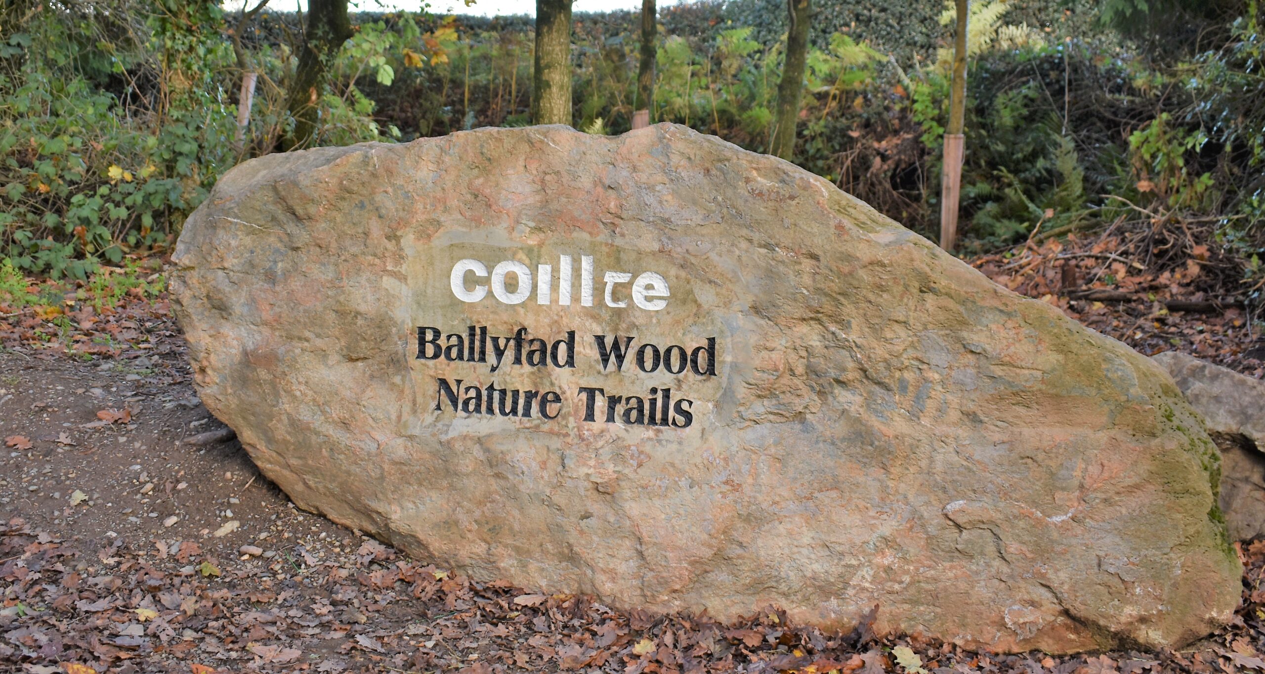
The trailhead sign shows details of 4 trails of varying length and many fine examples of mature oak (1820), beech (1912), Norway spruce, Western hemlock, Douglas fir and Scots pine can be seen along the way. A special section of the Bluebell trail has been developed as a fairy walk especially for younger walkers.
Ballyfad Wood was used as a refuge by rebel forces both before and after the rebellion of 1798 and there are records of Anthony Hackett and his companions encountering local loyalist militia in the woods in the autumn and winter of 1798.
DON’T MISS
- The opportunity to pause and reflect under the magnificent stand of mature trees along the Beech Trail.
- The tree framed view of the ancient volcanic stump of Tara Hill from the woodland seat on the Bluebell trail.
- The stream and washing stone at the bridge on the Bluebell Trail used by generations of local women.
- The enchanting fairy trail created by local children on combined section of the Beech and Bluebell trail.
GETTING HERE
Directions: Take exit 22 from M11 onto the R722 towards Inch. In Inch turn left onto the L1004. After 700m turn left. After 1km turn right. After 800m turn left. The car park will be on the right after 220m


