BUNCLODY – COOLMELAGH
PROSPECT LOOP
Distance: 5.4km (3.4 miles)
Ascent: 140m
Walking time: 1hr 30min
Waymarking: Blue
Grade Easy
GIBBET HILL
Distance : 10km (6.25 miles)
Ascent : 210m
Walking time: 2hr
Waymarking: Orange
Grade: Moderate
COOLMELAGH
Distance: 13.3km (8.3 miles)
Ascent: 280m
Walking time: 3hr 30min
Waymarking: Red
Grade: Moderate
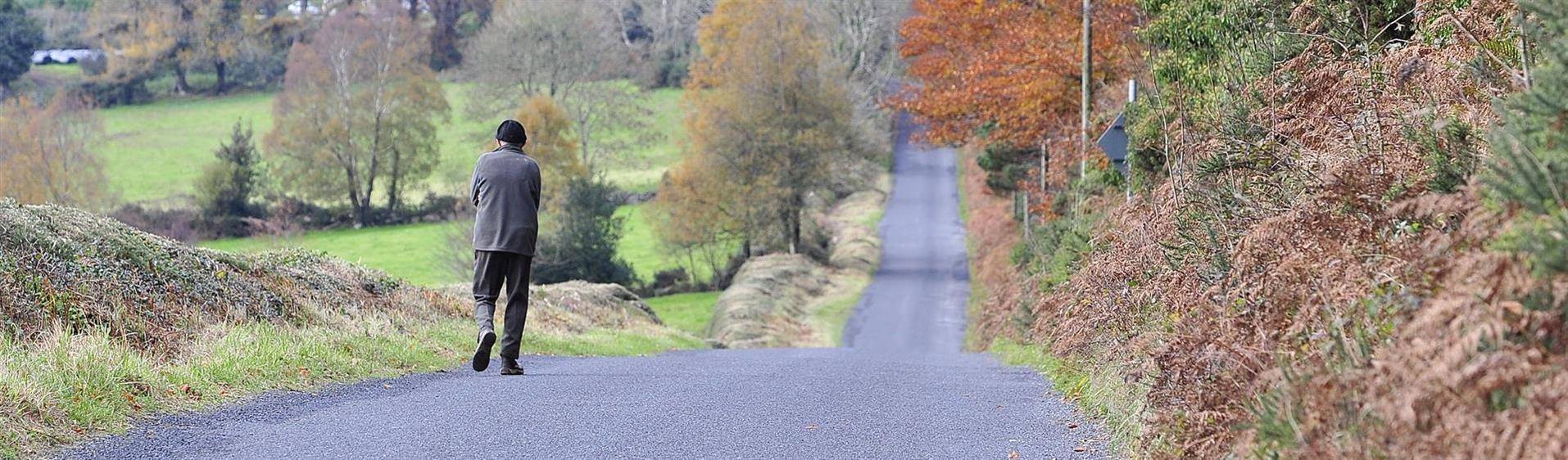
Three looped walks climb to Gibbet Hill. Gibbet is an old English name for Hanging Hill. This hints to a place of execution where beautiful views meant that, no matter what your crime, your last sight on earth was heavenly. These loops on forest roads all rise with a steady climb close to the top of Gibbet Hill with breathtaking views on offer.
OSI Discovery Map Series 62
(trailhead) walks on 68 & 69 also
GRID REFERENCE: S 963 604
SAT NAV: 52.686, -6.580
GETTING HERE
Directions: From Bunclody take the Carnew Road R746 for 6km to forest entrance.
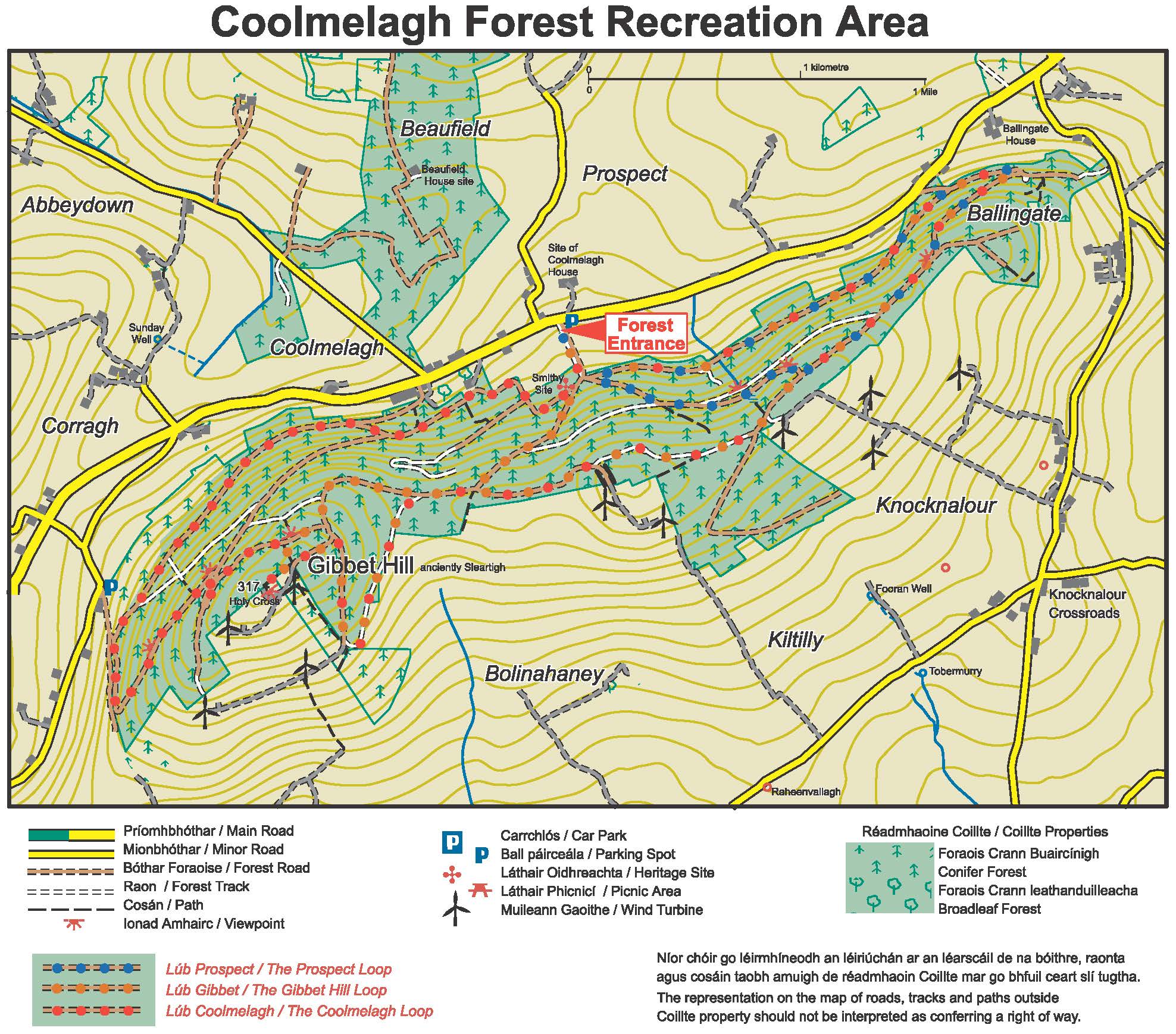
DON’T MISS
- Windmills and a Marian Year cross at the summit where the gibbet once stood.
- Views of County Wexford, Carlow and Wicklow.
- All kinds of native wildlife, such as Irish hare, fox, badger, Peregrine falcon, hen harrier raven.